Column · @dronesitejournal
Monthly Construction Drone Surveys: What to Check and Why
Setting Up a Repeatable Monthly Drone Survey Routine
Running a construction site means tracking progress across weeks and months. A single set of aerial photos can show where a building stood last month, but the real value comes from comparing surveys over time. A monthly drone survey gives you a consistent record of site capture and change detection. Without a repeatable checklist, it is easy to miss key details or collect data that cannot be compared later. This article lays out the points to check each month so your surveys stay useful from one flight date to the next.
1. Confirm the Flight Date and Weather Windows
A monthly survey works best when you pick the same time of month, ideally the same week. That keeps the interval between surveys even, making progress monitoring more reliable. Weather matters too. Overcast days give soft, even light that reduces harsh shadows, which helps the orthomosaic look consistent. Check the forecast a few days ahead and have a backup window in case of rain or high wind. If you fly on different dates each month, note the reason in your log so you can account for any gaps when comparing site capture later.
2. Review the Flight Plan Against the Site Layout
Each month the site changes. A stockpile may have moved, a new crane could be in place, or a building section may now block a previous flight path. Before you launch, pull up the last survey's flight plan and compare it with the current site layout. Adjust waypoints and altitude to avoid obstacles and to keep the same ground coverage. Consistency in flight path is what makes site capture comparison meaningful. Small changes in overlap or altitude can introduce errors in the orthomosaic that make change detection harder.
3. Check Camera Settings and Image Overlap
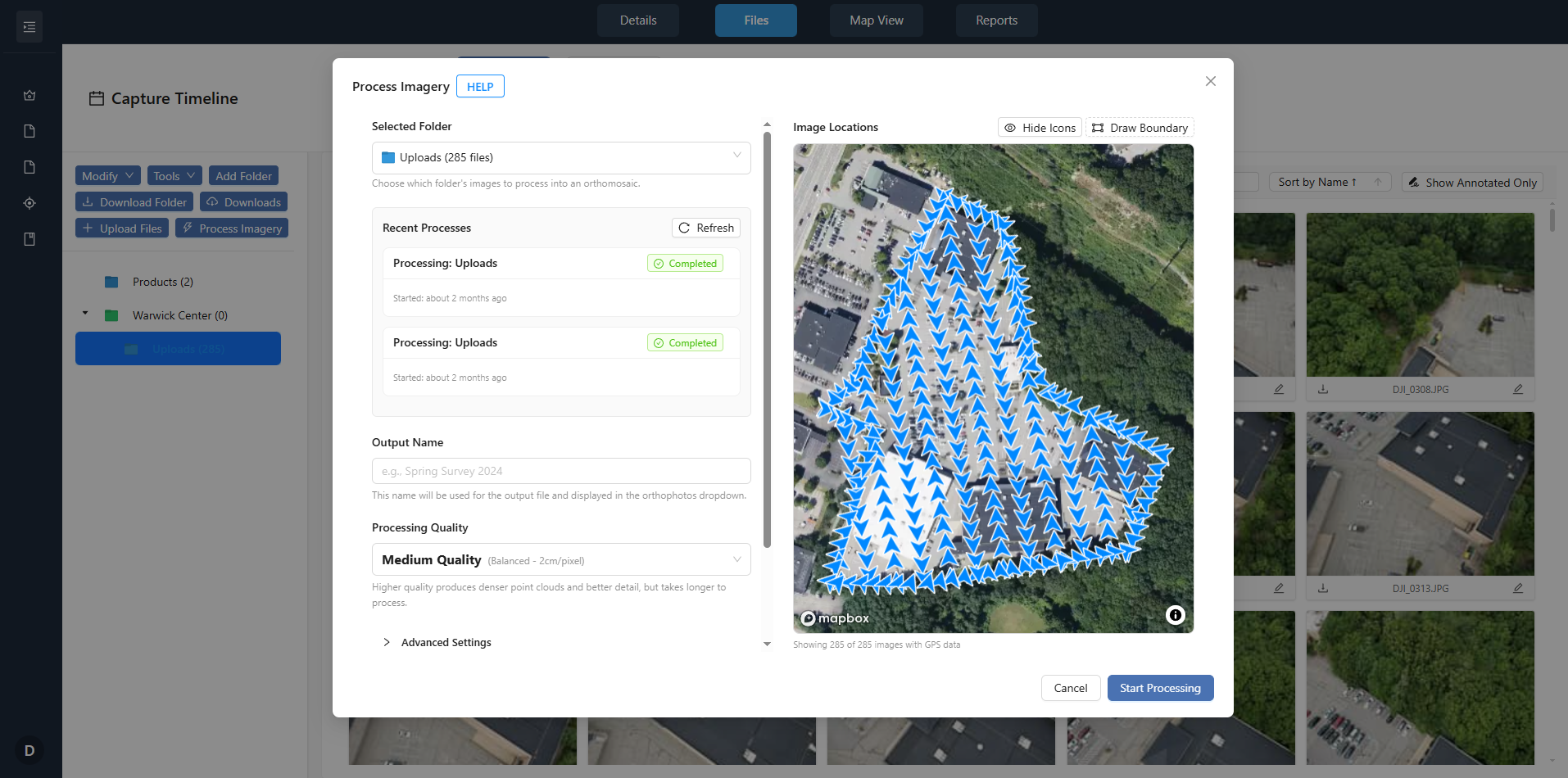
For a monthly survey to be comparable, the camera settings must stay the same. Set shutter speed, aperture, and ISO to fixed values that work for the lighting conditions you expect. Auto settings may produce good single images but they will vary from month to month, which breaks the consistency needed for change detection. Also confirm the forward and side overlap percentages. For construction sites, 75 percent forward and 60 percent side overlap is a common starting point. If you change overlap, the resulting orthomosaic may have gaps or misalignments that mask real site changes.
4. Capture Ground Control Points and Checkpoints
Ground control points (GCPs) are physical markers on the site with known coordinates. They let you georeference the drone images accurately. Each month, place or verify the same set of GCPs in the same locations. If a GCP was buried or moved, replace it and note the change. Also set a few checkpoints that you measure separately to validate the survey accuracy. Without consistent GCPs, the site capture comparison will drift, and the orthomosaic will not align properly across months.
5. Collect Site Annotations on the Day of Flight
While the drone is flying, someone on the ground should walk the site and note anything that will not show clearly in the images. This could be a new trench, a temporary structure, or an area that was inaccessible. Mark these on a site map or in a field app. Later, when you compare surveys, these site annotations explain changes that the orthomosaic alone might not reveal. For example, a dark patch in the imagery might be wet ground or a new foundation; the annotation tells you which.
6. Process the Data Immediately After the Flight
Do not let the raw images sit on a card for days. Process the photos into an orthomosaic and a digital surface model as soon as possible. This lets you catch errors while the site is still fresh in your mind. If the stitching software shows alignment problems or missing areas, you can re-fly the missing sections before the site changes again. A delayed processing cycle means you may not discover a problem until the next month, and by then the ground has moved on, making a re-flight useless for comparison.
7. Compare the New Survey with the Previous One
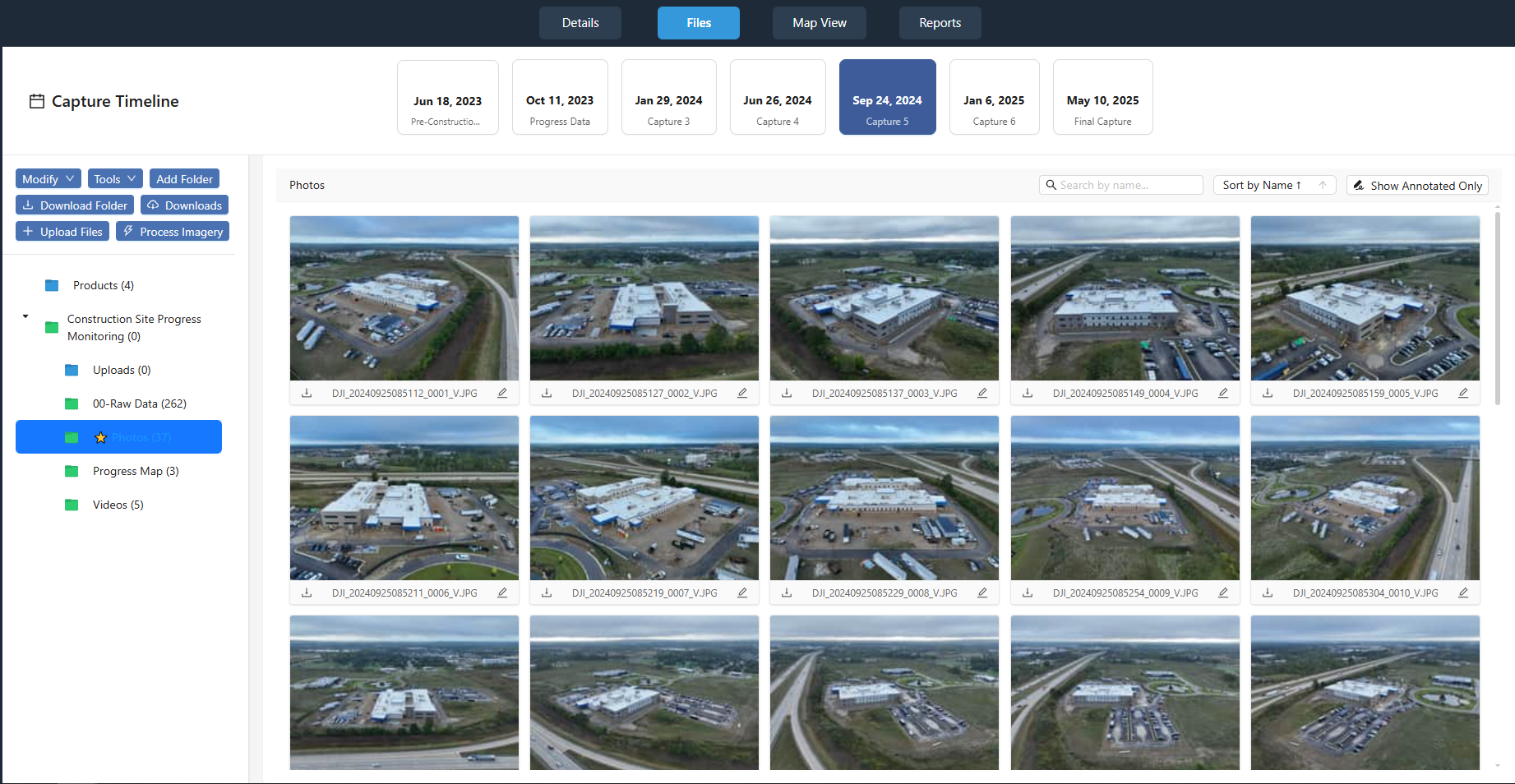
This is the core of site capture comparison. Open the orthomosaic from the current month and the one from last month side by side. Use a tool that lets you swipe or fade between them. Look for changes in building footprints, material stockpiles, vehicle positions, and ground disturbance. Also check the elevation model for cut and fill volumes if the project involves earthworks. Flag any area where the two surveys disagree, and note it in the project timeline. This step turns raw images into actionable progress monitoring data.
8. Document the Findings and Share with the Team
A monthly survey does not help anyone if the results stay in the pilot's laptop. Create a summary that shows the key changes, with annotated screenshots from the comparison. Include a table of dates, weather conditions, and any issues encountered. Share this with the project manager, the site supervisor, and the client if required. Consistent documentation builds a record that supports claims, change orders, and schedule updates. National Drone Services offers a platform that can help you organise and view these monthly surveys in a consistent way, making it easier to track site capture over time.
9. Review the Checklist Itself
Every few months, look back at your checklist. Are there steps you skipped? Are there new types of change appearing on site that your current process does not capture? For example, if the project moves from excavation to framing, you may need to add a step that checks roof details or interior voids visible from above. A checklist that stays static will eventually miss important site changes. Adjust it based on what you learn from each comparison.
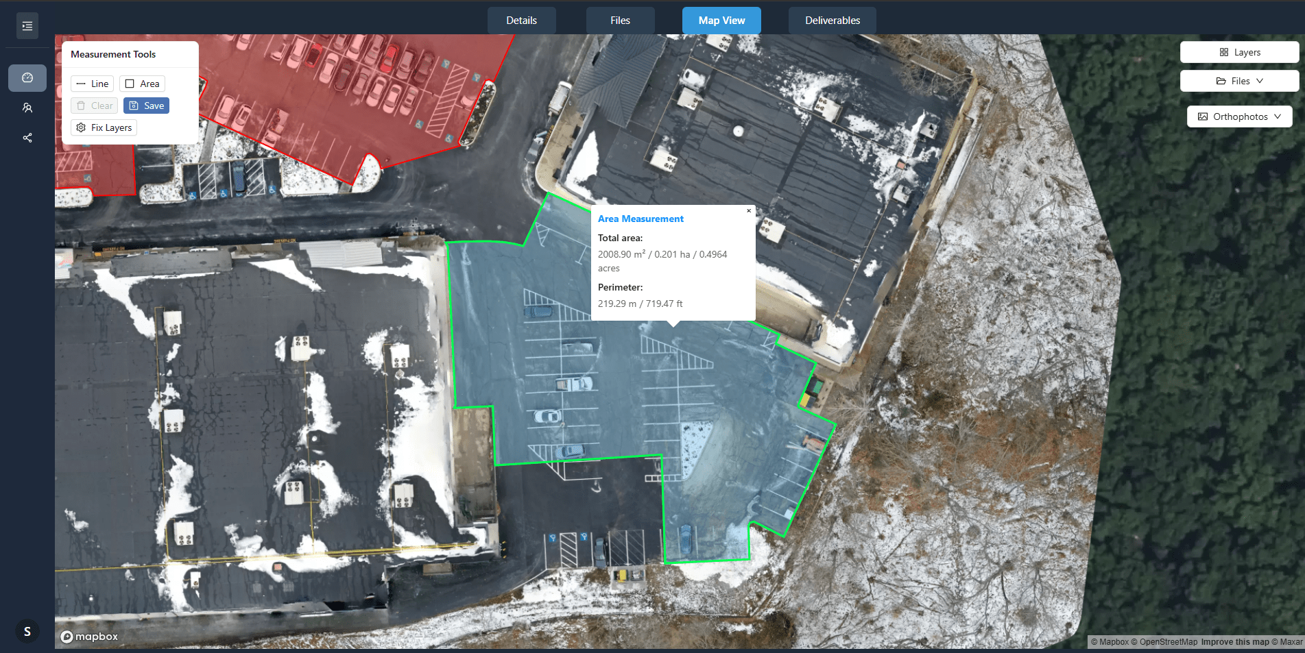
The value of a monthly drone survey grows with each flight. A repeatable routine ensures that every set of images is captured under similar conditions, processed the same way, and compared against the same baseline. That consistency is what makes change detection reliable and progress monitoring meaningful. Without it, you end up with a folder of images that cannot tell a clear story. National Drone Services provides tools that support this kind of consistent site capture comparison, helping you keep your project timeline on track without reinventing the process each month.